
The time has come for a over of our mapping services to clear the way for further development of handy tools for our users. As such, this month we have rolled out a new map format to better allow our users to quickly peruse land patents by disposition. In order to keep the maps as clutter free as possibly, we…
Tag: land patents

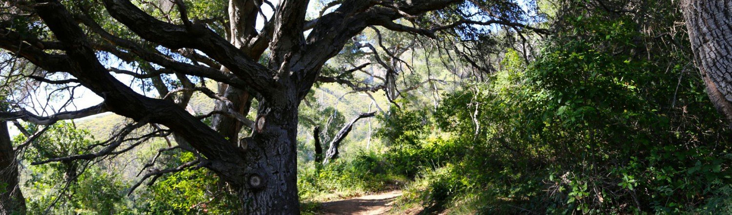
The Innocente Homestead
Immanuel (Manuel) Innocente was of the Chumash tribe and head cattle wrangler at El Sur Rancho in San Buenaventura. In 1868, Manuel moved with his wife, Francisca – who was likely Yokut – and two children to Big Sur and purchased a homestead in what would later become Pfeiffer Big Sur State Park. This homestead included dry, scrub covered hillsides, as well as a…

The Pfeiffer Homesteads
The Pfeiffer name is scattered across Big Sur, California. Be it Pfeiffer Falls, Pfeiffer Ridge, Pfeiffer Road, Pfeiffer Gulch, or Pfeiffer-Redwood Creek all these landmarks are homage to a family that settled and thrived in Big Sur since 1869. Michael and Barbara Pfeiffer were European immigrants who settled in Sycamore Canyon, Big Sur in 1869 [visit Michael’s owner page] with their four children Charles, John,…

Welcome!
We are excited to have launched The Land Patents! There are many public land patents across the US. Yet, few people are able to discover the “who,” “what,” and “where” of public land patents. While this is a matter of public record, we aim to make it a matter of a simple search to answer all these questions and more!…