
With over 100 cattle brands decorating the entrance, there is little question that the Panhandle-Plains Historical Museum is a monument to the Texas cowboys and settlers that first developed northern Texas. Located in Canyon, just south of Amarillo, on the West Texas A&M University campus, the museum is Texas’ largest history museum and a well curated survey of the region’s past.…
Tag: land

Understanding Maps
The time has come for a over of our mapping services to clear the way for further development of handy tools for our users. As such, this month we have rolled out a new map format to better allow our users to quickly peruse land patents by disposition. In order to keep the maps as clutter free as possibly, we…

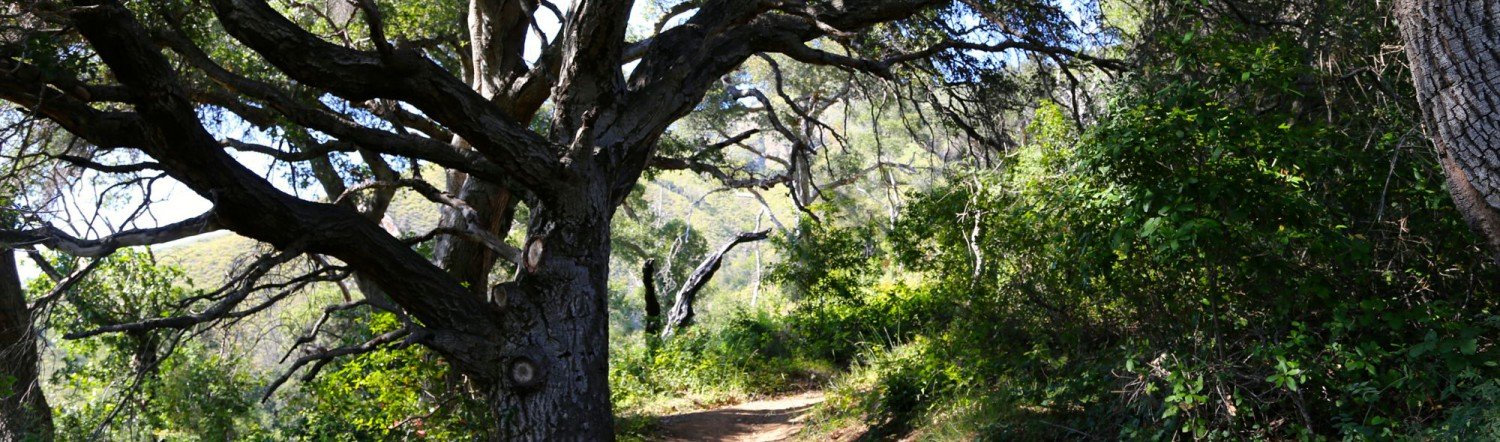
The Innocente Homestead
Immanuel (Manuel) Innocente was of the Chumash tribe and head cattle wrangler at El Sur Rancho in San Buenaventura. In 1868, Manuel moved with his wife, Francisca – who was likely Yokut – and two children to Big Sur and purchased a homestead in what would later become Pfeiffer Big Sur State Park. This homestead included dry, scrub covered hillsides, as well as a…

Understanding Location Data
Claims handled by the Bureau of Land Management are not mapped by latitude and longitude, as many maps now use. Instead, many of these claims harken back to an older form of surveying called the Public Land Survey System (PLSS), a measurement system that may seem confusing to the uninitiated, but was a great step forward in the time that it…