
Rancho Santa Anita was a 13,319 acre land grant covering modern day Arcadia, Monrovia, Pasadena, San Marino, and Sierra Madre held by Perfecto Hugo Reid in 1845. While Reid sold this land to Henry Dalton in 1847, the secession of California put the ownership of this land in flux until the 1848 Treaty of Guadalupe Hidalgo agreed to honor preexisting…
Category: History

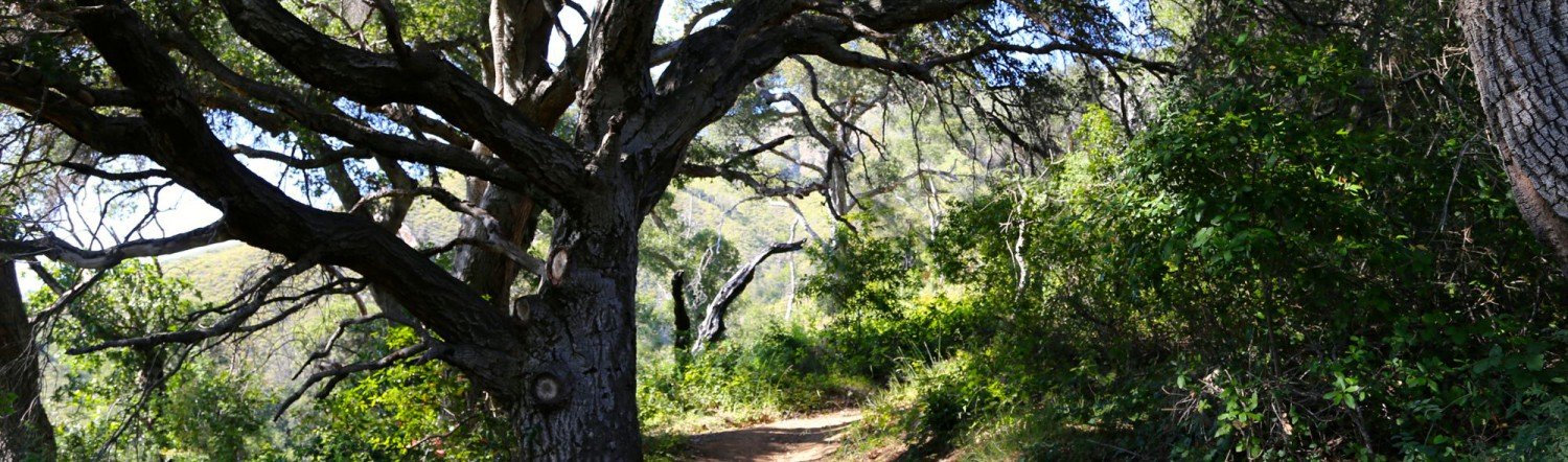
The Innocente Homestead
Immanuel (Manuel) Innocente was of the Chumash tribe and head cattle wrangler at El Sur Rancho in San Buenaventura. In 1868, Manuel moved with his wife, Francisca – who was likely Yokut – and two children to Big Sur and purchased a homestead in what would later become Pfeiffer Big Sur State Park. This homestead included dry, scrub covered hillsides, as well as a…

The Pfeiffer Homesteads
The Pfeiffer name is scattered across Big Sur, California. Be it Pfeiffer Falls, Pfeiffer Ridge, Pfeiffer Road, Pfeiffer Gulch, or Pfeiffer-Redwood Creek all these landmarks are homage to a family that settled and thrived in Big Sur since 1869. Michael and Barbara Pfeiffer were European immigrants who settled in Sycamore Canyon, Big Sur in 1869 [visit Michael’s owner page] with their four children Charles, John,…

Understanding Townships
This entry focuses on a part of our earlier discussion, Understanding Location Data. For greater context on what we will be addressing, please read that post first. One of the more confusing aspects of the Public Land Survey System (PLSS) is the concept of “townships.” A “township” can refer to two different things. Both are part of the PLSS measurement system but have…